/ˈsɛrak,sɛˈrak/
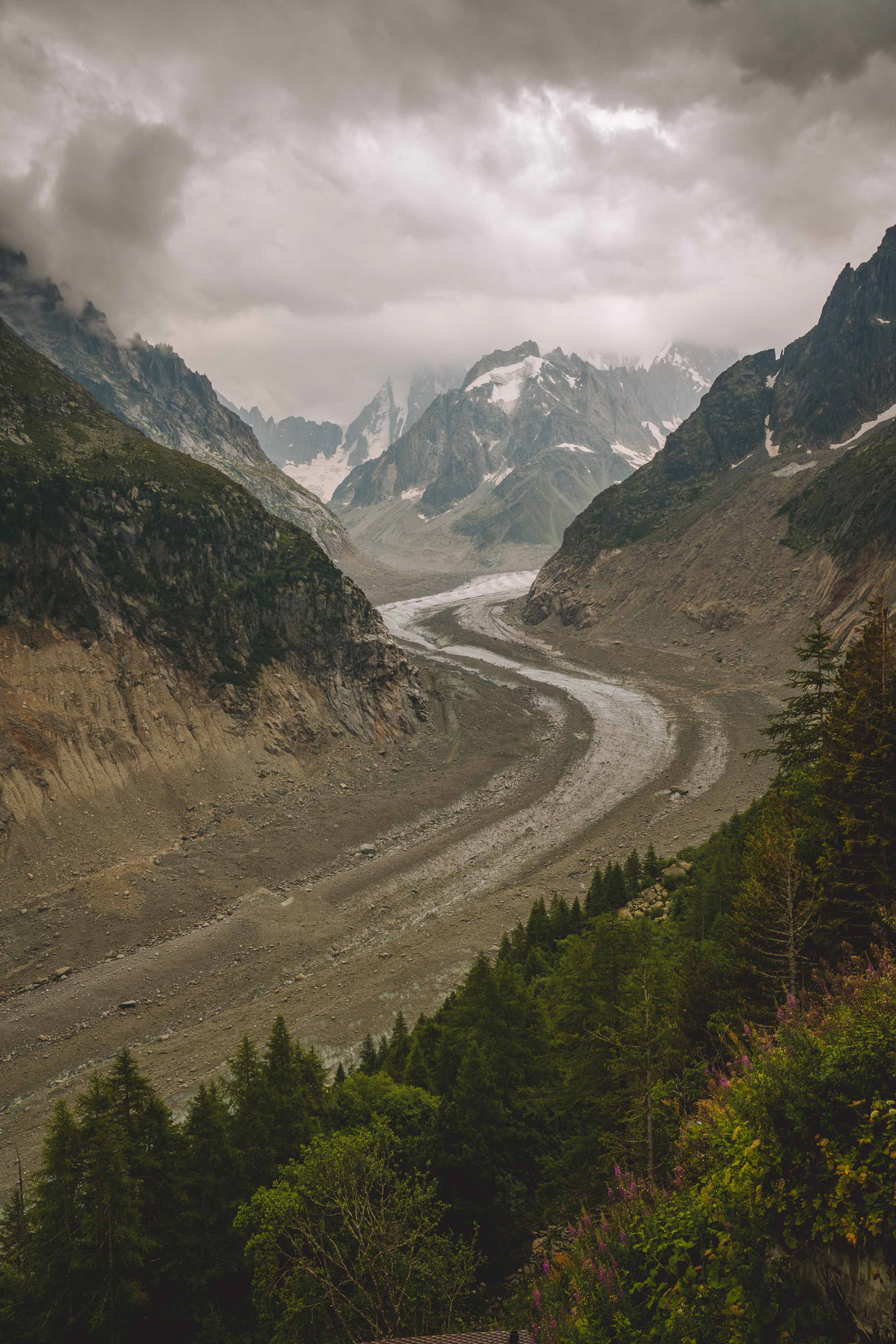
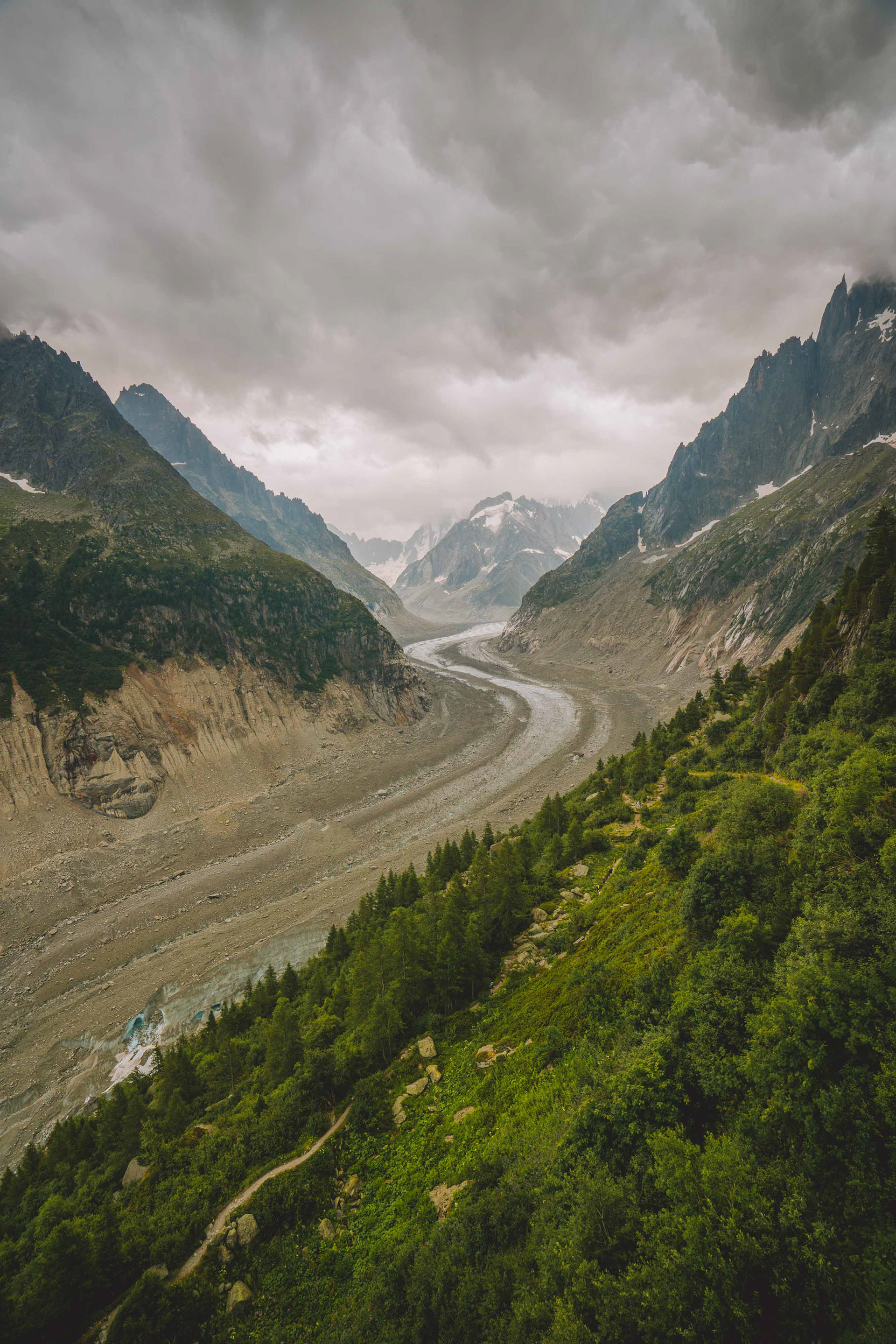
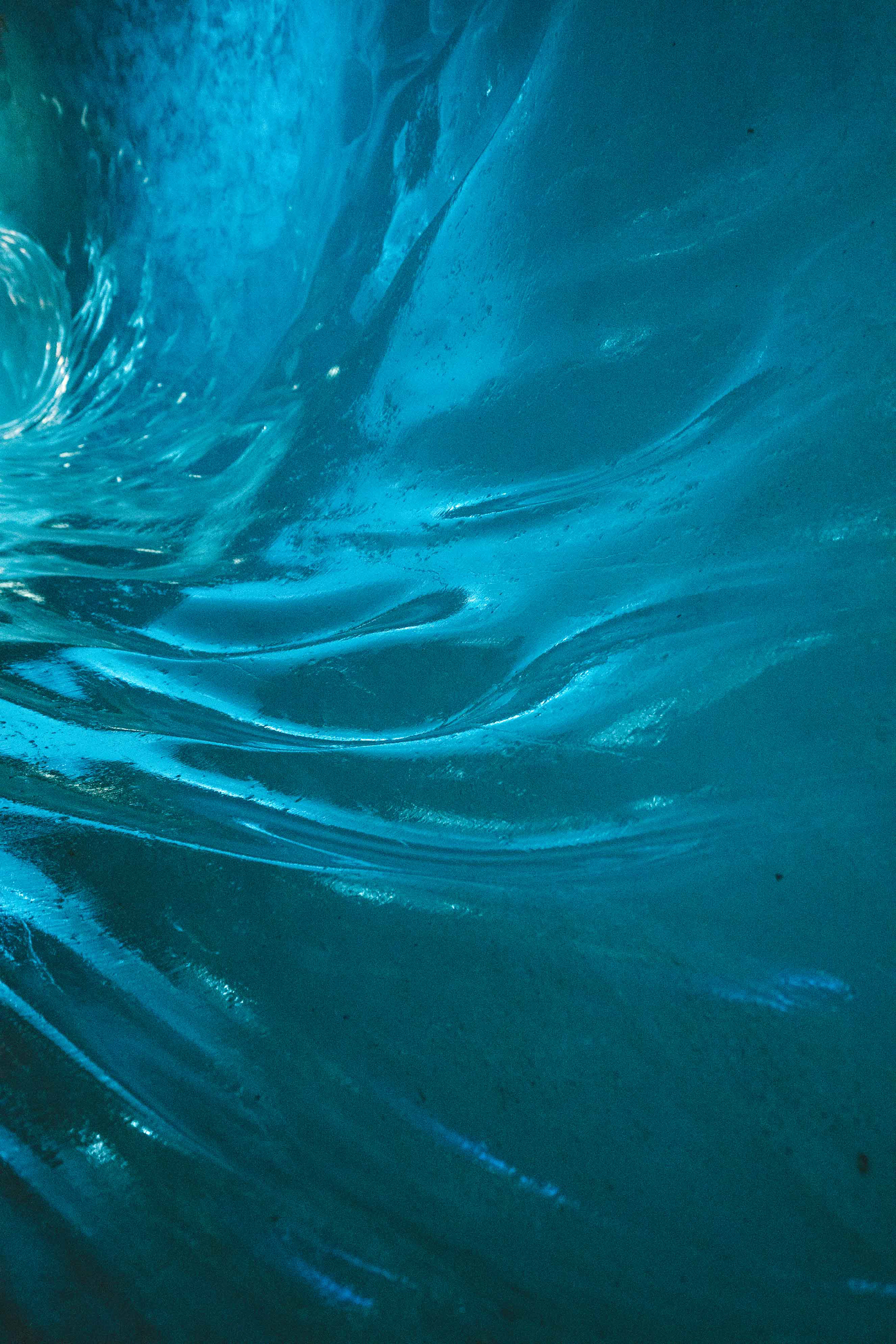
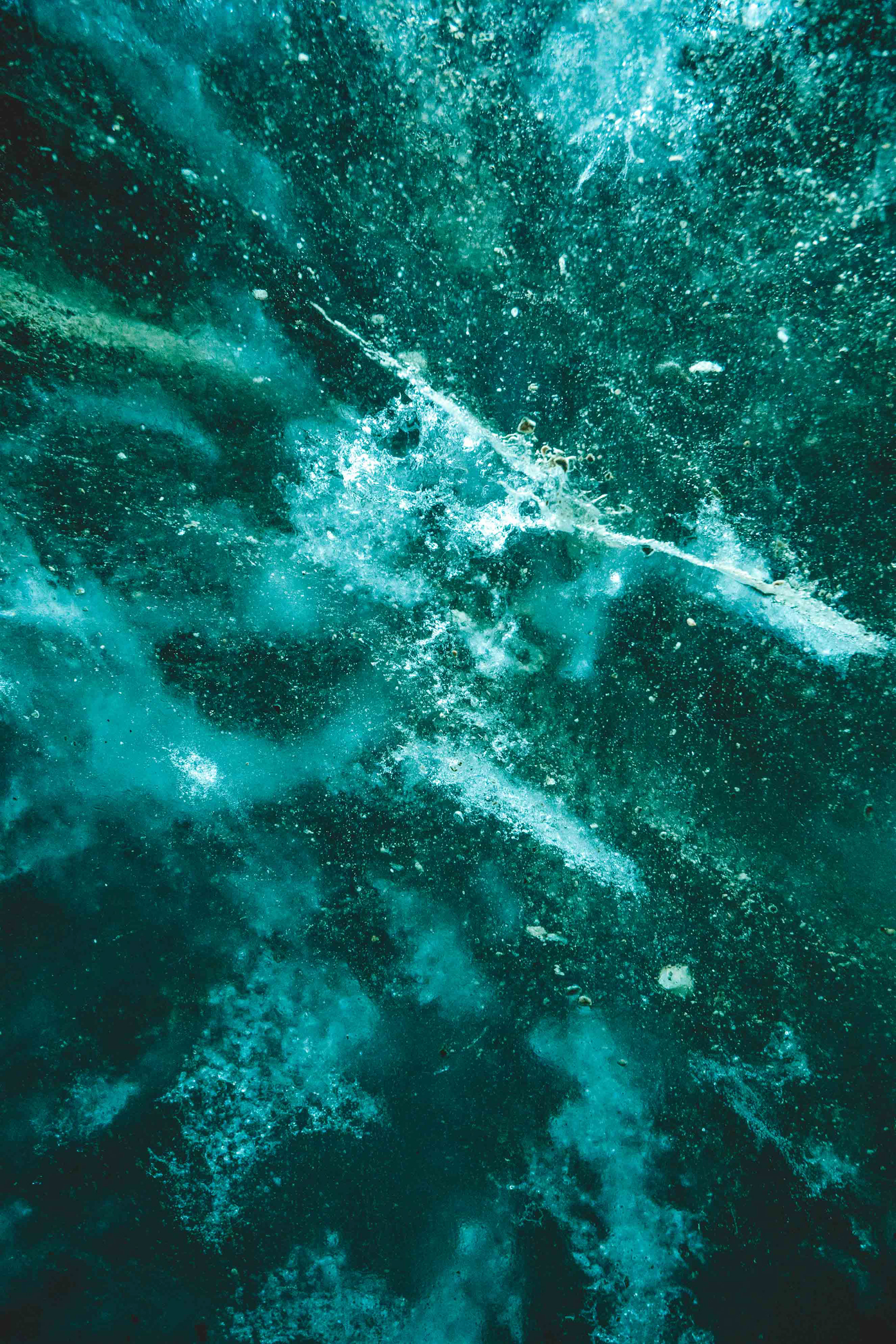
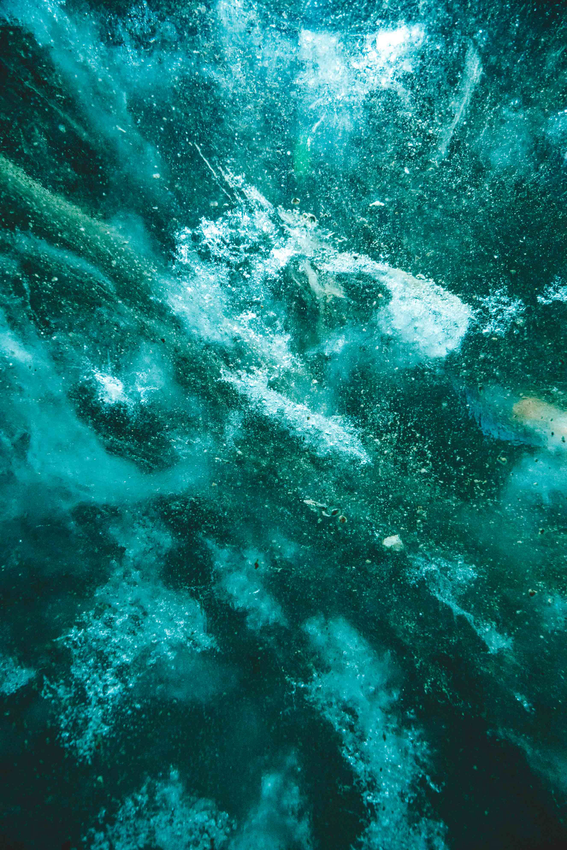
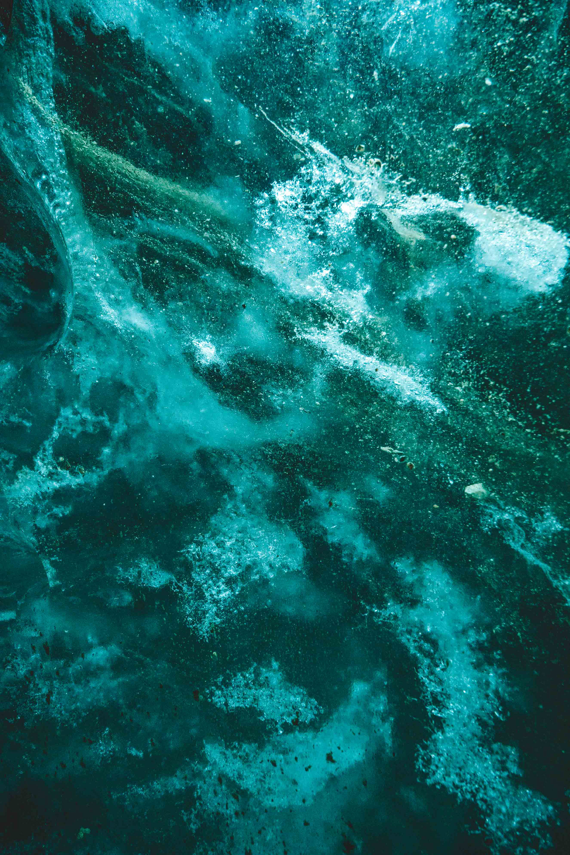
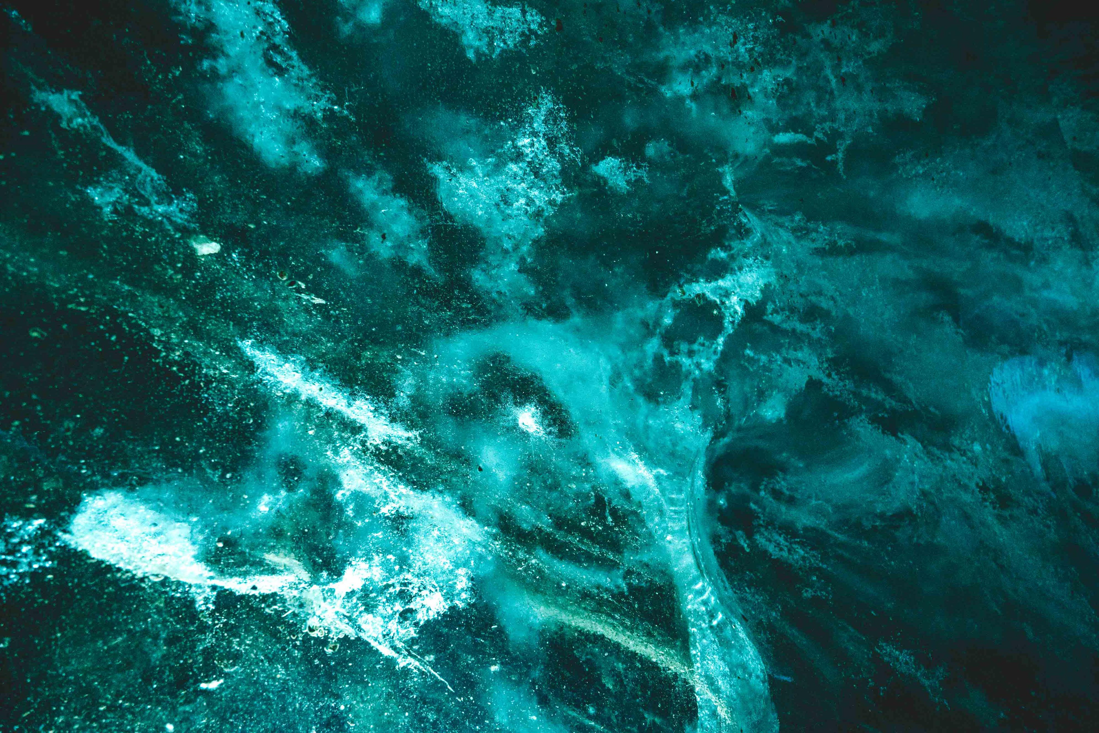
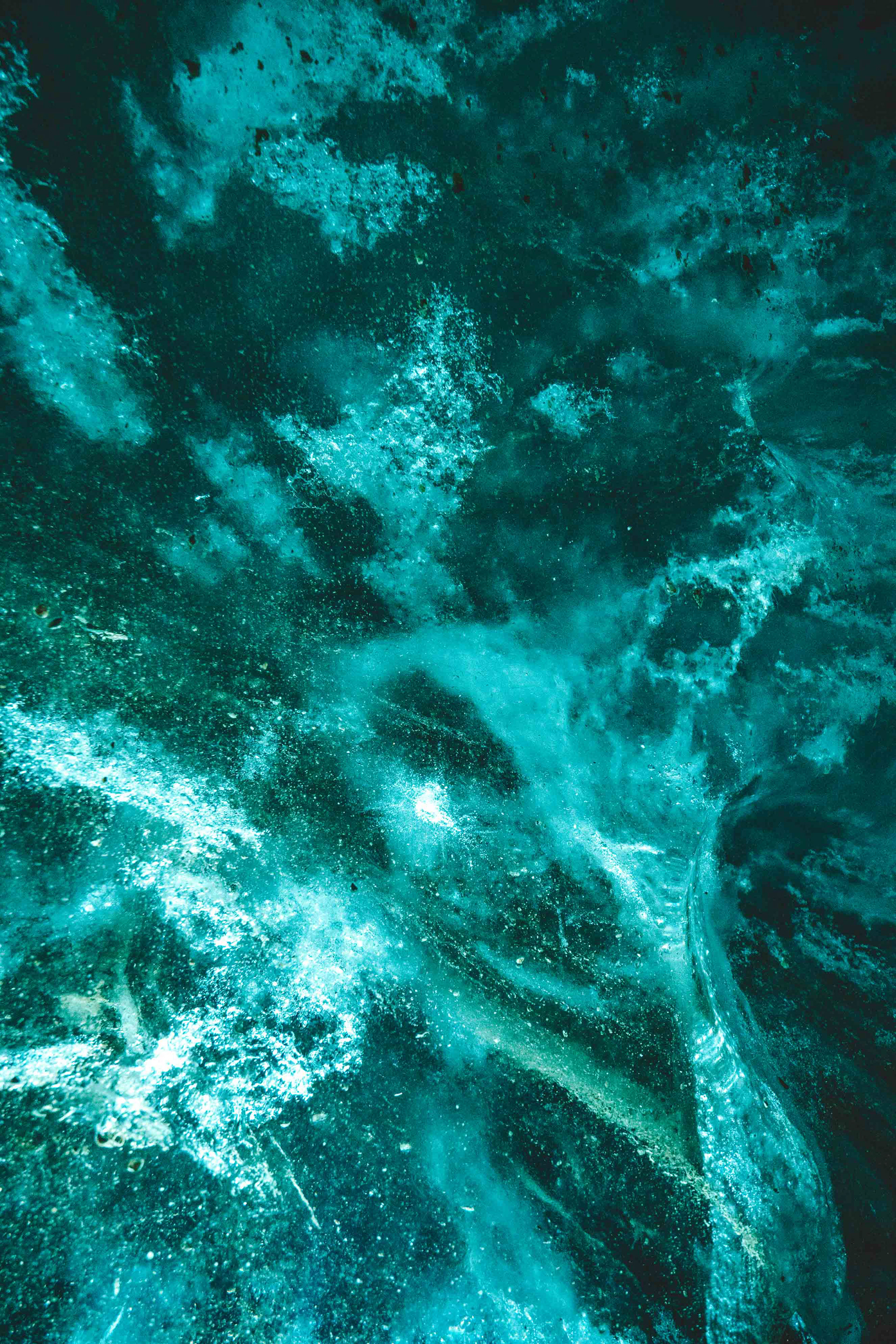
"A pinnacle or ridge of ice on the surface of a glacier"
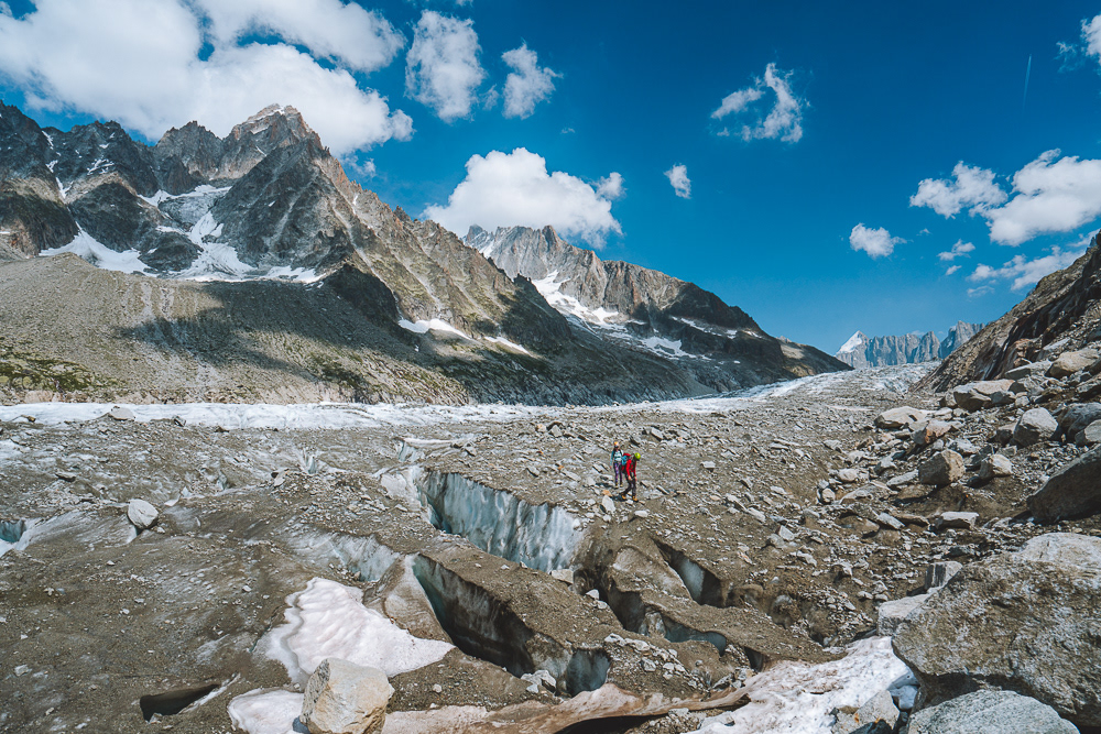
This project has for goal to make the invisible visible. Focusing on glaciers and how we observe their behaviour allows me to combine two different fields in which I have some knowledge and enjoy, research, landscape, adventure and photography.
Taking beautiful landscape photography can quickly become redundant and sometimes meaningless. However if you are able to bring a story to these pictures they gain in meaning and impact.
Having grown up near researchers all my life it appeared as an evidence to focus on researchers. I needed to understand how researchers work, how they think, what drives them. When, my father, who is a computer science academic, talked about his work, it always seemed too abstract and almost imaginary.
Explaining scientific work to the wider public can be a very difficult exercise. Since their work require great analytical skills and attention to detail, it can be challenging for researchers to simplify and synthesize their work. In addition, synthesizing scientific work is difficult as to understand one concept clearly you need to have prior knowledge and understanding of a string of other notions. This can make the scientific reasoning very confusing to someone unfamiliar with the field.
This project aims to tackle these issues and open to a wider public the scientific work that is usually only read by a small minority. As such, this project aims to share the work of young scientists, working on key topics. These researchers are the future of research and the protection of the environment. These are the people that give raw data to climate scientists who will then on try to prove global warming or a climate anomaly. They are the ones that bring the proof needed to allow scientist to draw a conclusion on a global warming.
This project aims to provide a more detailed understanding on climate change to a wider public by focusing on the data-- in this case gathered on the Mont Blanc’s glacier-- that allows us to prove the existence of global warming.
PART ONE
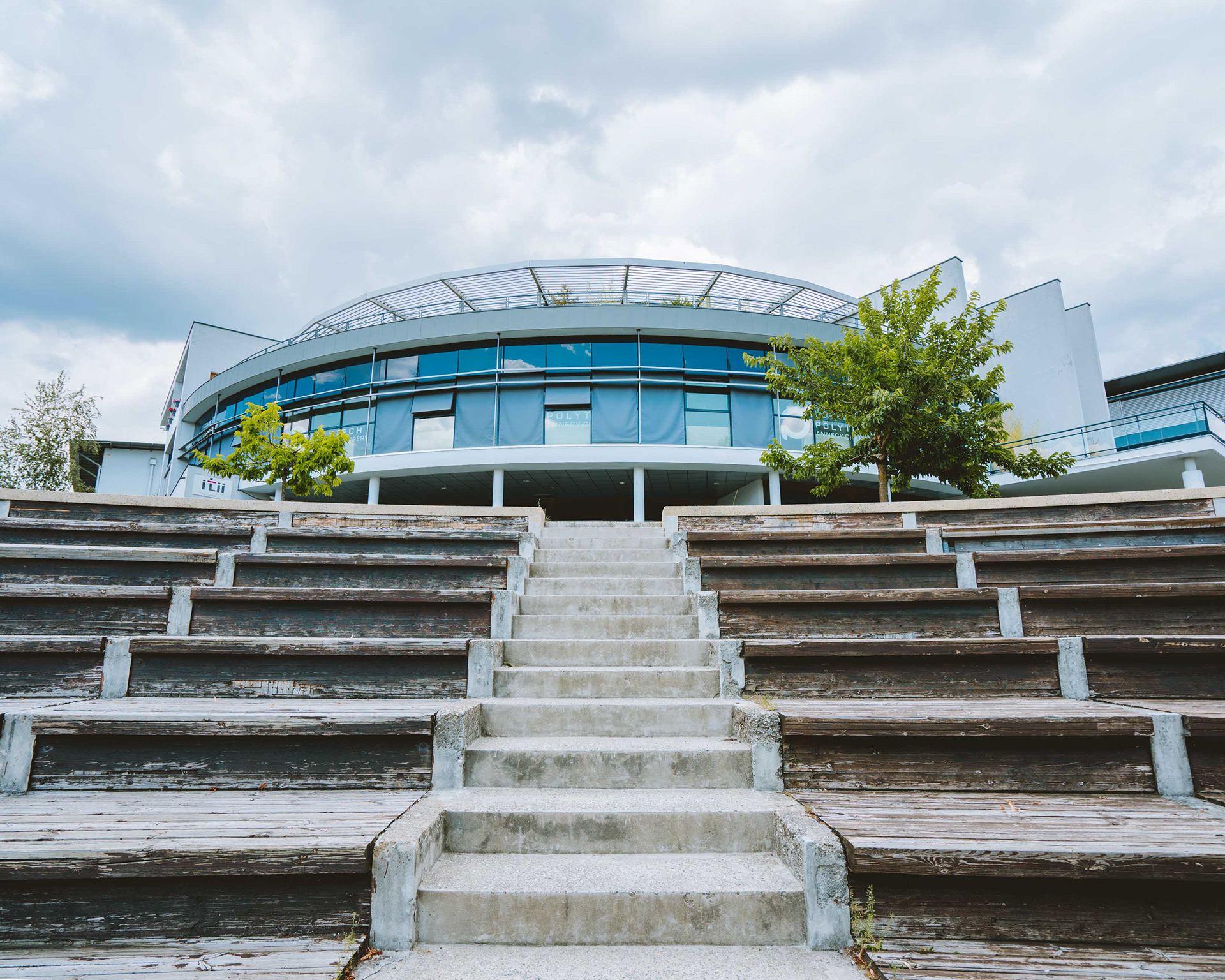
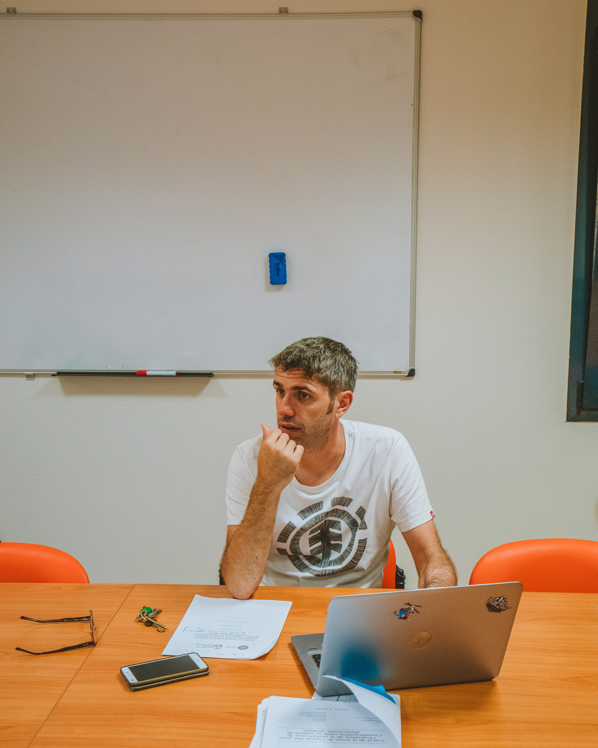
Alexandre Hippert is a doctoral student working at the LISTIC Polytech Annecy-Chambery since 2017. His thesis is focusing on the Mont Blanc’s Glaciers movement analysing and reconstructing missing data from the satellite Sentinel-1.
Before starting his PhD, Alexandre graduated from the École Centrale d’Électronique (ECE) in Paris as a «Ingénieur Généraliste, spécialité Énergie et Environnement». He then got his Masters degree on Physical Methods of Tele detection, at Université Pierre et Marie Curie – Université Paris Diderot.
Supervised by Dr. Philippe Bolon and Dr. Yajing Yang, Alexandre Hippert aims to develop methods to reconstruct missing data from the glaciers movement. Satellites send uncomplete data on glaciers’ movements, which makes it difficult to estimate accurately the effect of global warming. To fill the missing data sent by one satellite, the Sentinel-1 SAR, on glaciers’ movements, Alexandre uses a series of satellite image and correlation calculations.
A second part of his thesis is the application of his methods with different technics in order to obtain a better precision in his results.
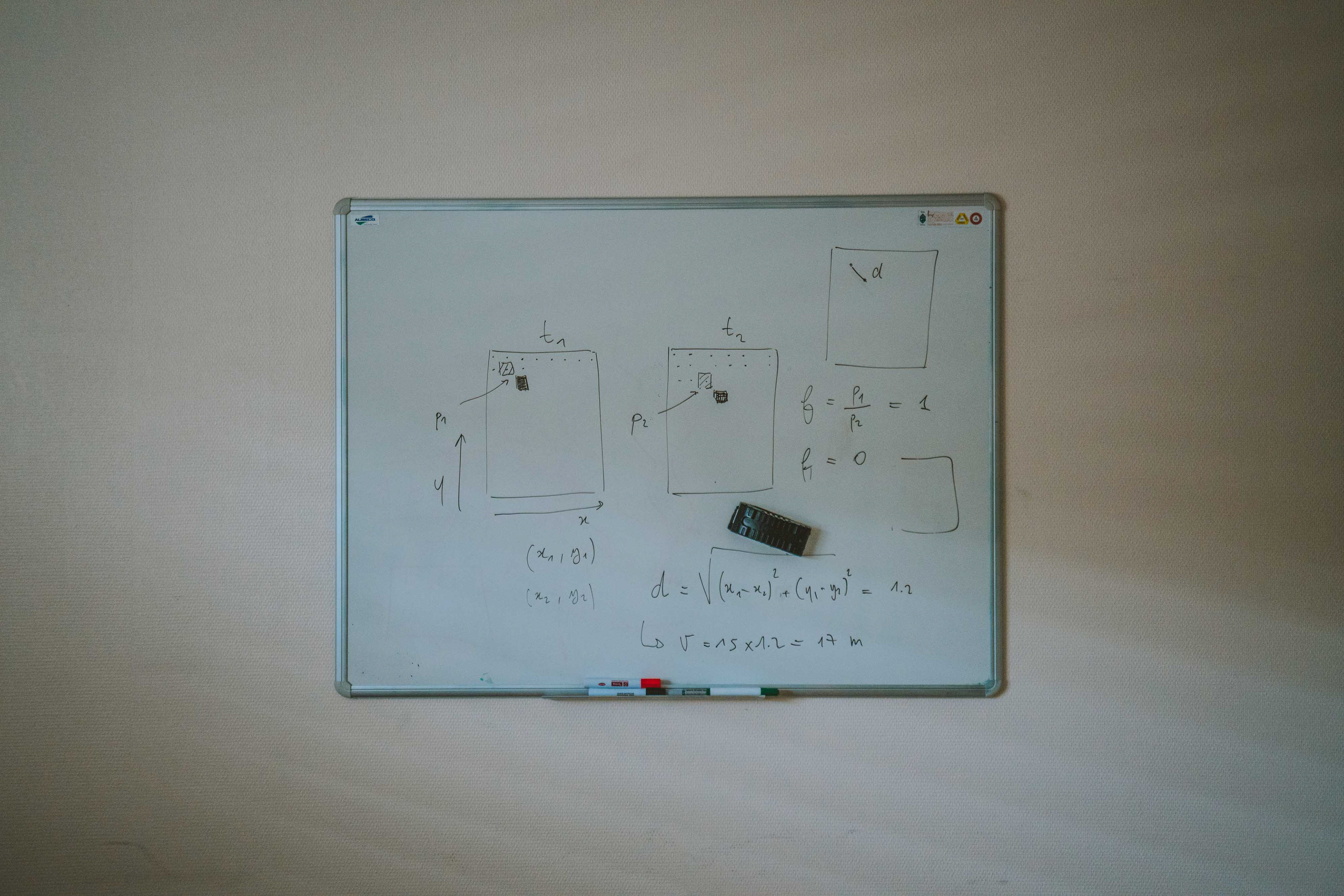

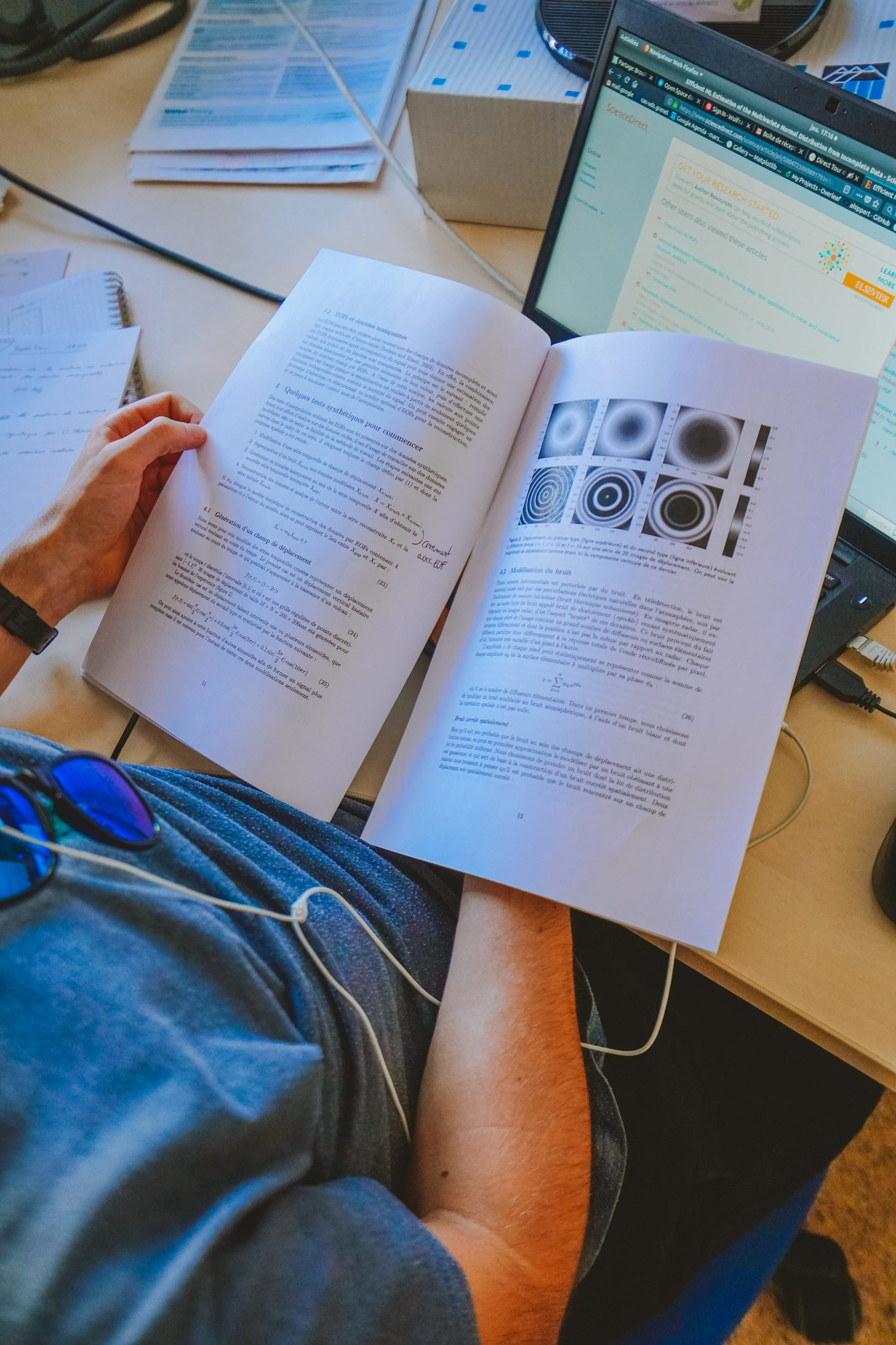


Satellite imaging is the scanning of the earth by satellites. Satellites carry sensors that send radiation to a small geographical area over which they fly. These radiations are reflected from the Earth and collected by the satellites. This data is then analyzed by researchers who make inferences about the earth surface. However, the data collected can be misleading, as there may be missing values. Missing values result from technical challenges. For instance, if the glacier moves too quickly, the satellite won’t have the time to capture the changes that occurred during it’s next alignment with the glacier.
The weather is also a big factor of missing data. If there is too much snow or clouds there is a possibility that the data is unusable even if you try to reconstruct it using correlation calculations.
Thus, researchers look for alternative methods to calculate the glaciers movement.


PART TWO
Héla Hadhri is another researcher working at the LISTIC Polytech Annecy-Chambery. Building upon the limits of Alexandre Hippert’s work, Héla Hadhri introduces a different approach to calculate the movement of these icy giants.
Héla Hadhri analyses stereoscopic time lapses for teledetection for monitoring alpine glaciers. This means that unlike Alexandre Hippert, she does not use satellite data but she uses an optical approach. 4 cameras are set up on each side of the glacier, taking daily photos of the glacier. The researcher creates with the images a 3D rendering of the glacier using a process similar to photogrammetry. Using complex computer codes,
Héla Hadhri finds the movement of the glacier by comparing chronologically the photos.
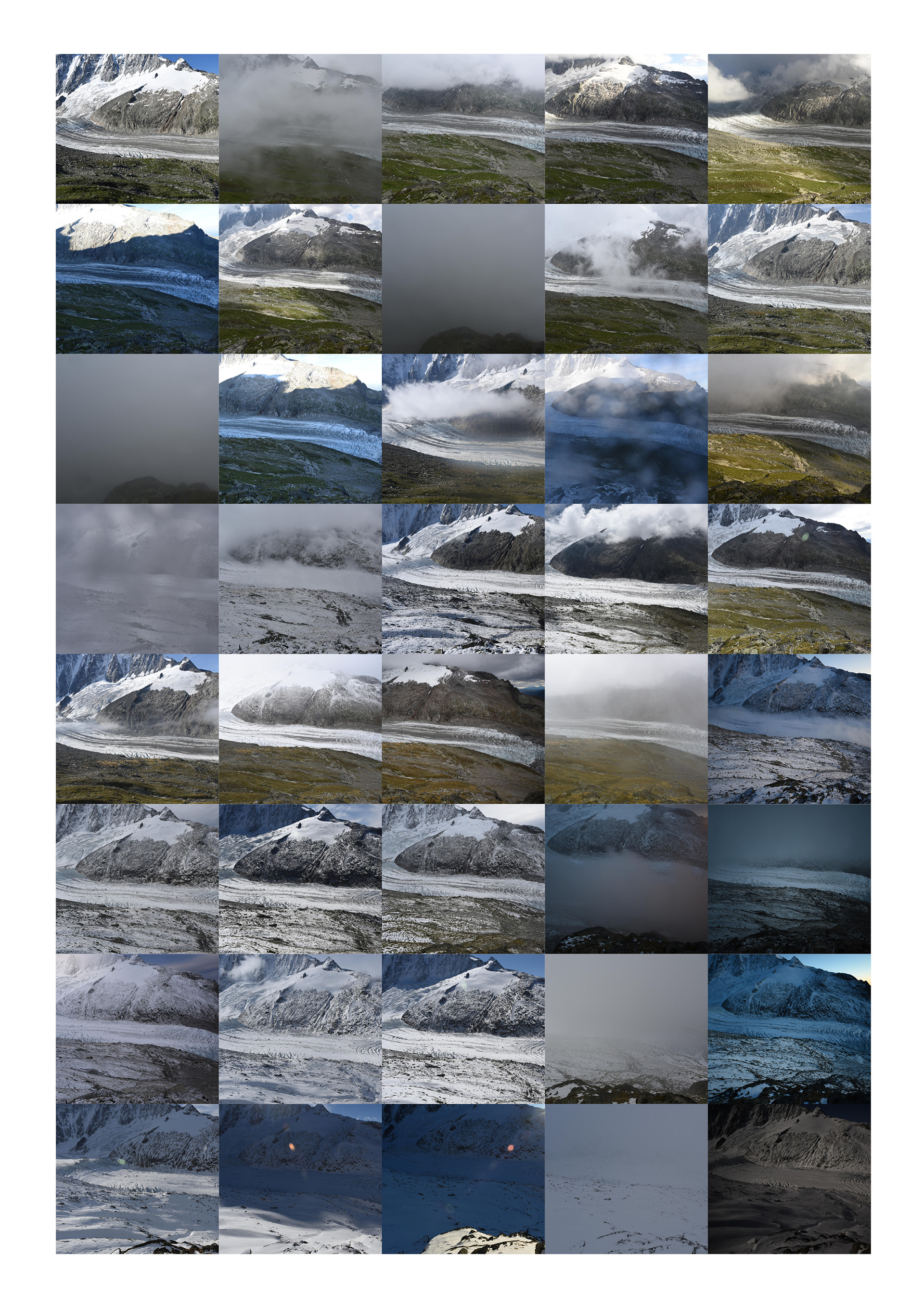
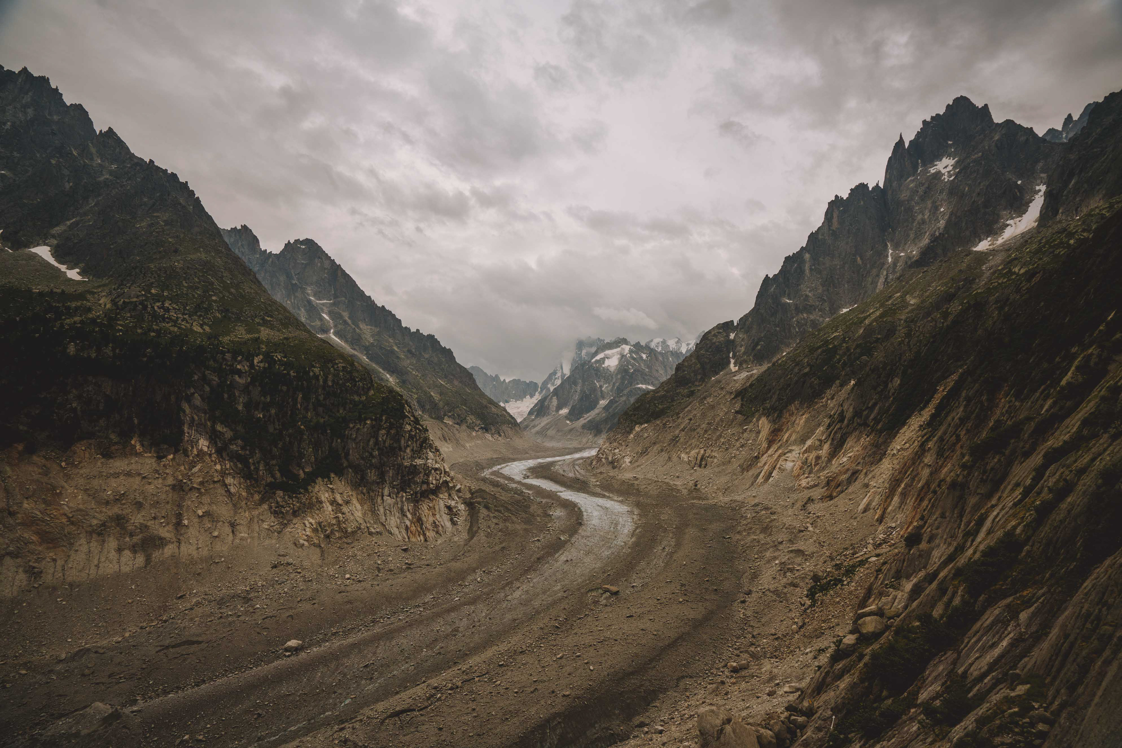
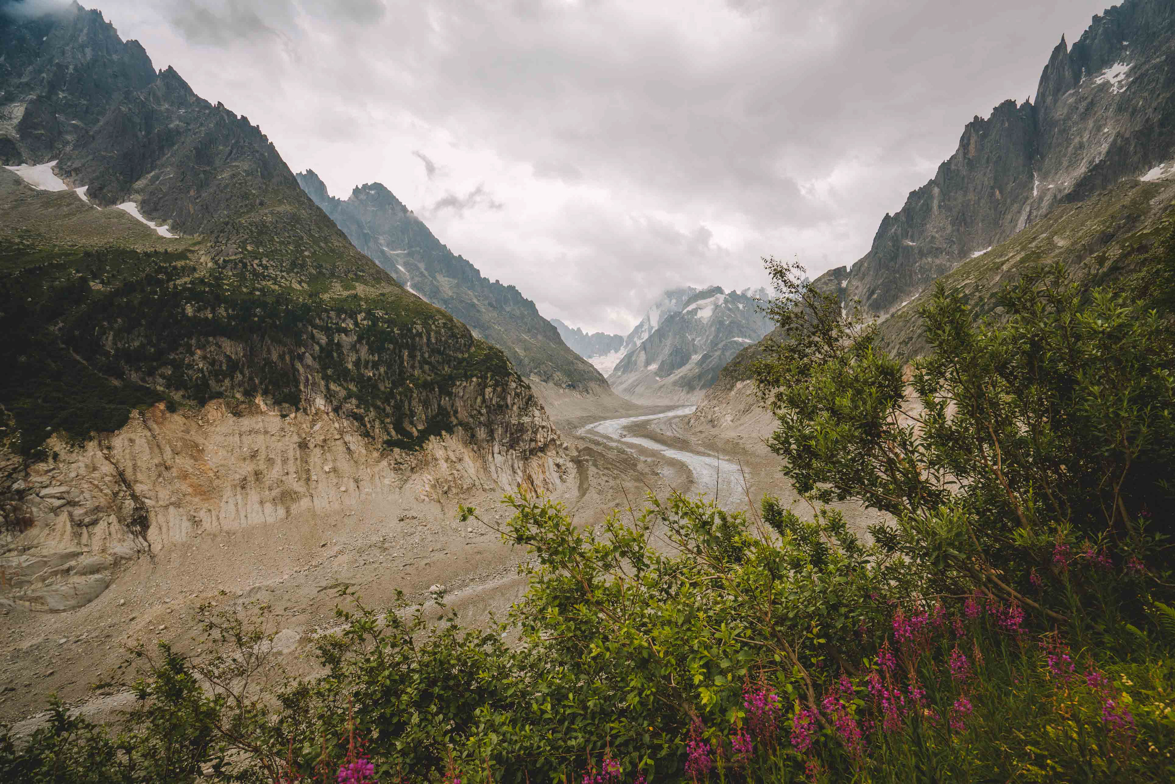
Series of photographs from the left camera set up on the glacier d'Argentière
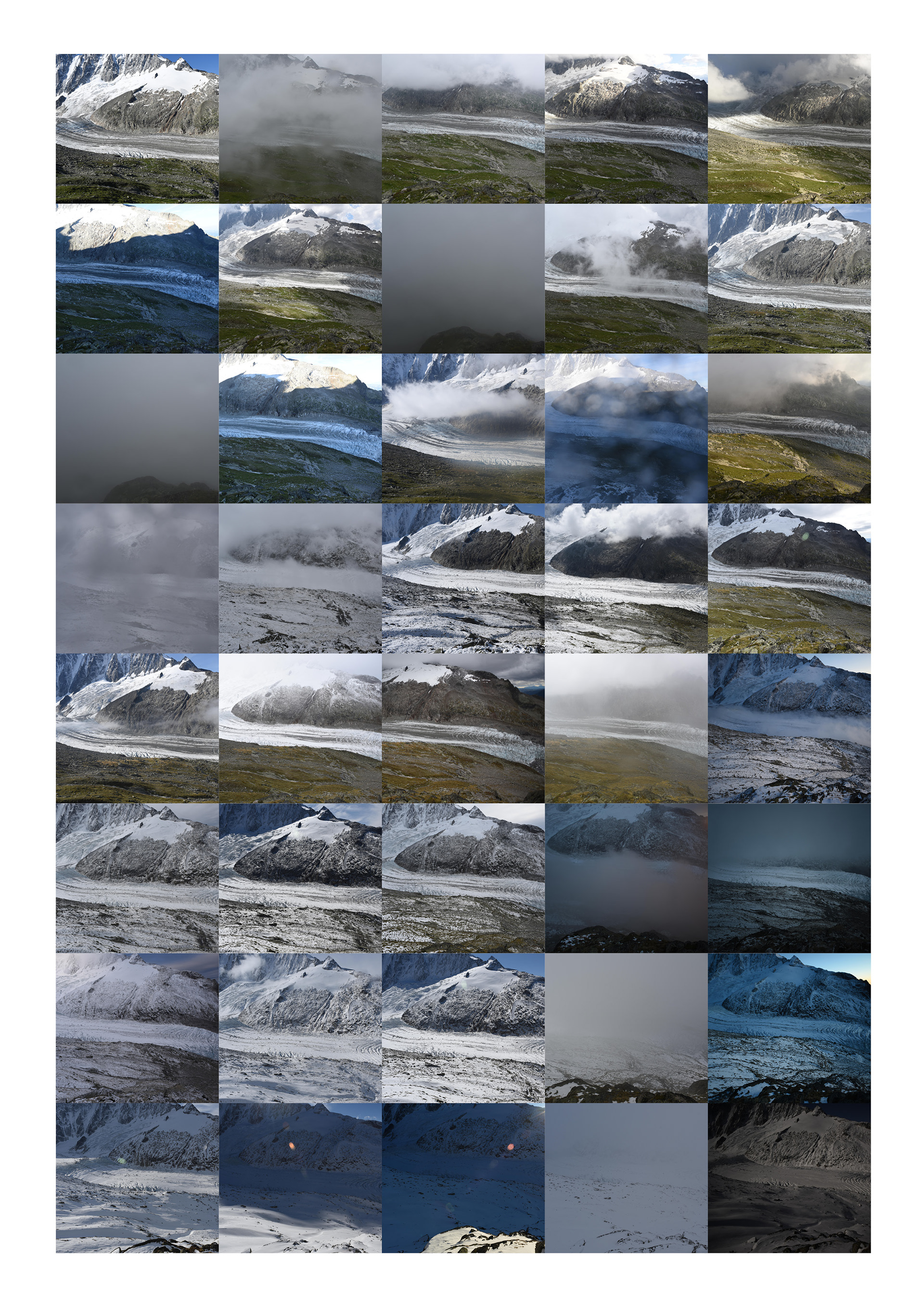
Series of photographs from the right camera set up on the glacier d'Argentière
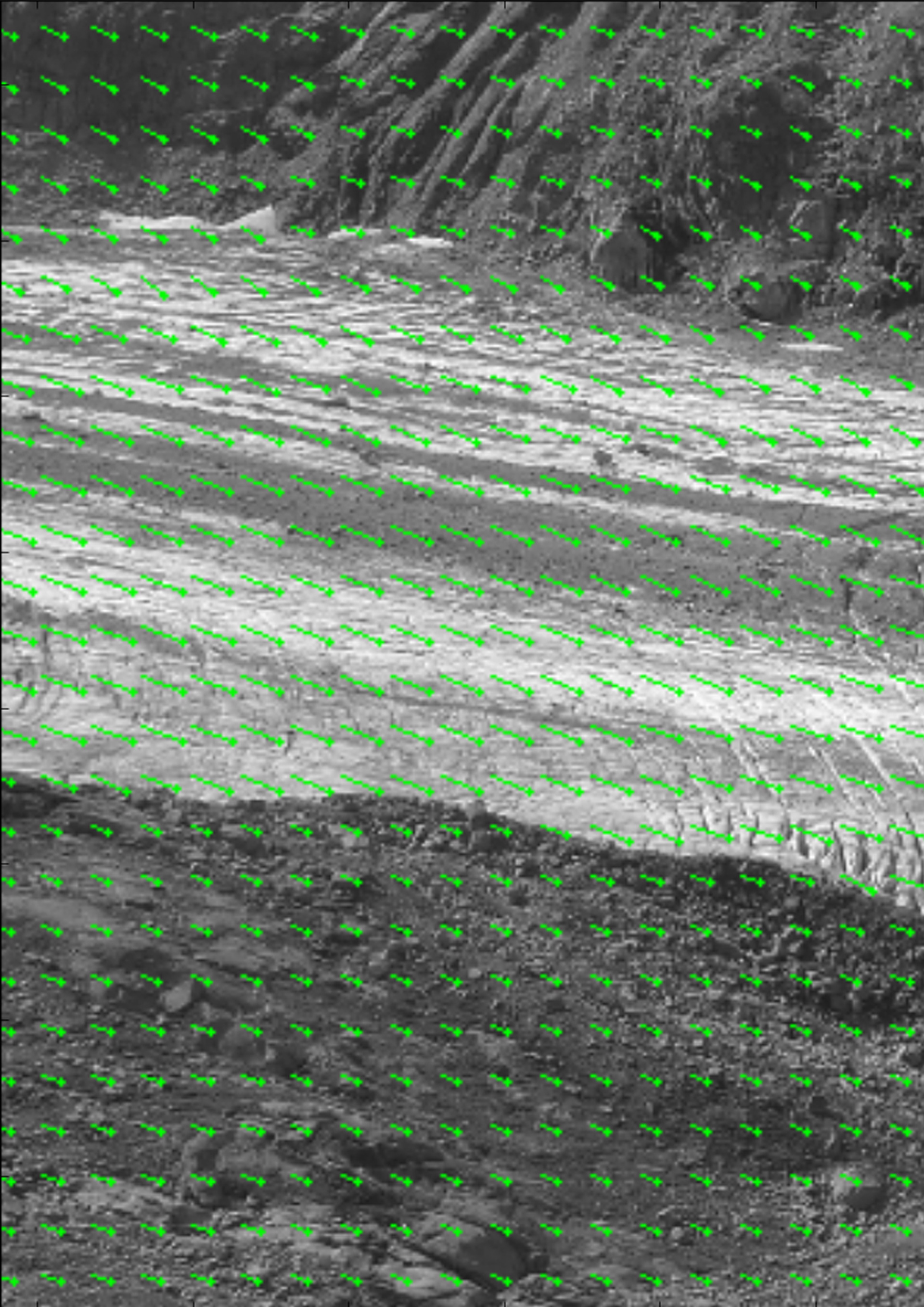
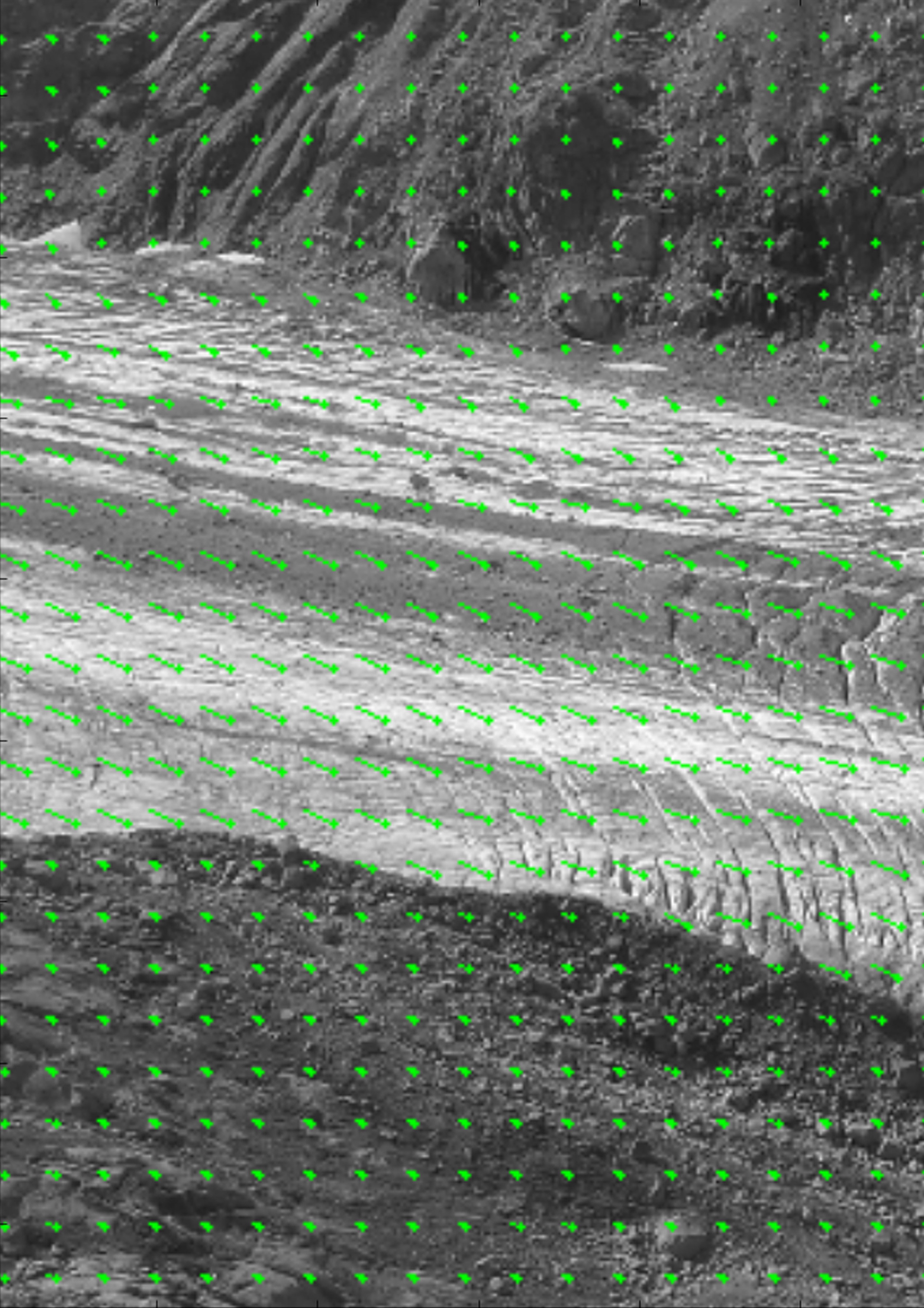
Even though clouds and time are less of a problem with Héla Hadhri’s method, weather factors and technical issues are still present.
Being right next to the glacier, the cameras are impacted by fog or big snowfalls. In fact it is in winter that this method shows the most its limit.
Researchers Usually go on the field only when they need to test their hypothesis and observe a concrete example or when they need to install some gear on site. So, the cameras need to keep functioning without any supervision during long periods of time.
Yet, safely installed inside waterproof boxes and equipped with solar panels these cameras sometime fail, most of the time either due to the temperatures or the batteries failure.
PART THREE
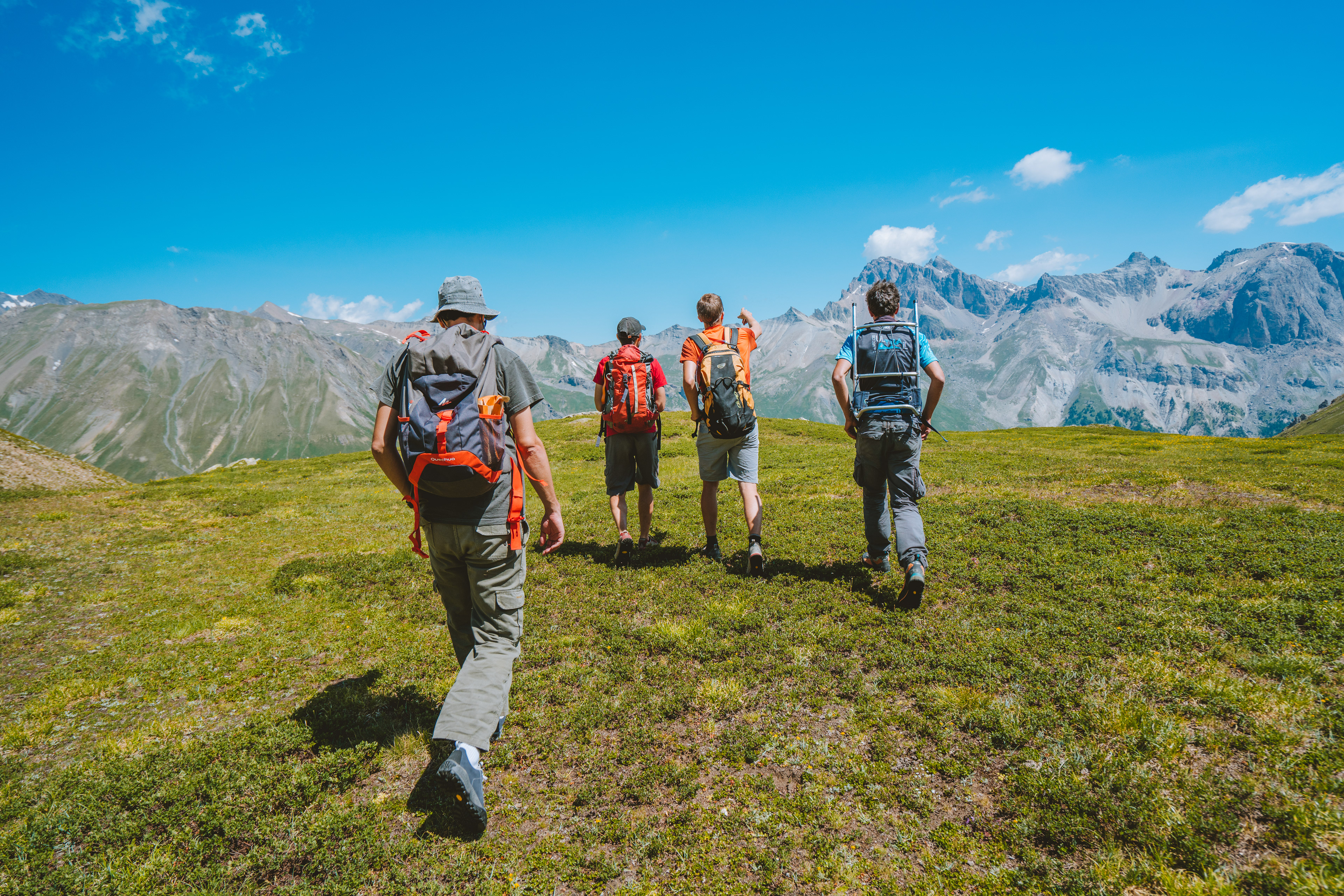
Unlike the two previous researchers, Xavier Bodin and Guilhem Marsy don’t use images or study an ice glacier.
Instead their research focuses on rock glaciers movement by using very precise GPS beacons. A rock glacier is essentially a glacier covered by a sea of rocks. However the ice could be buried deeply under the rocks. The movement of these humongous rock glaciers could bring a lot of problems, such as landslides, avalanches posing a real problem to the people living downstream and general public.
Xavier Bodin is a researcher specialized in geomorphology, the study of the physical features of the surface of the earth and their relation to its geological structures. Xavier and Guilhem work together in order to see how these rock glaciers behave.


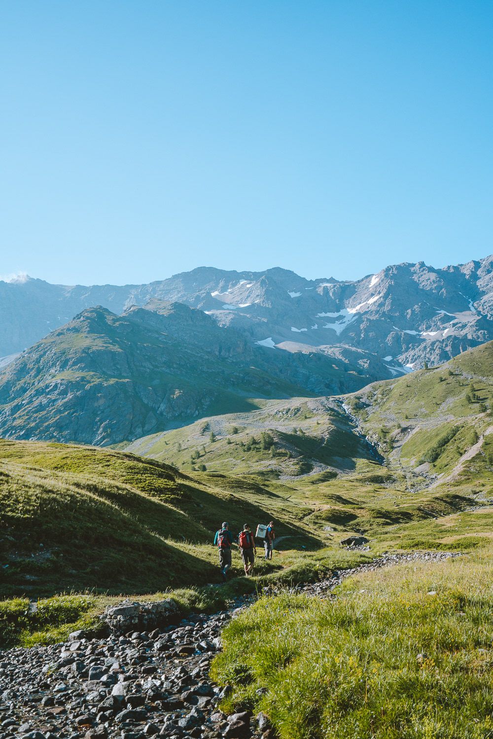
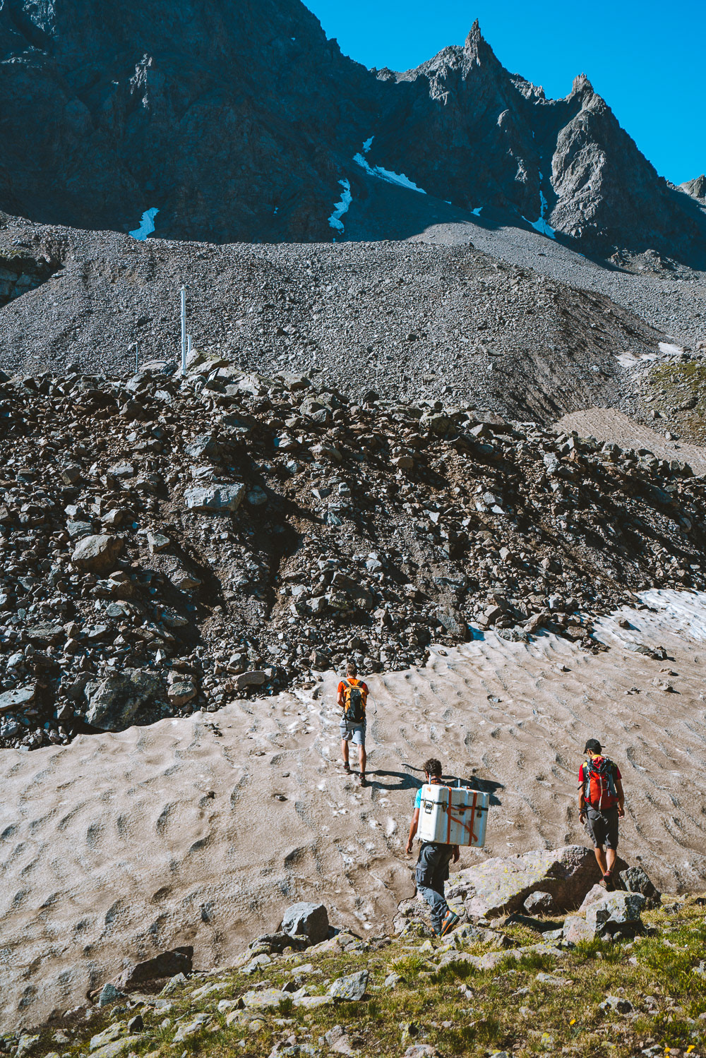
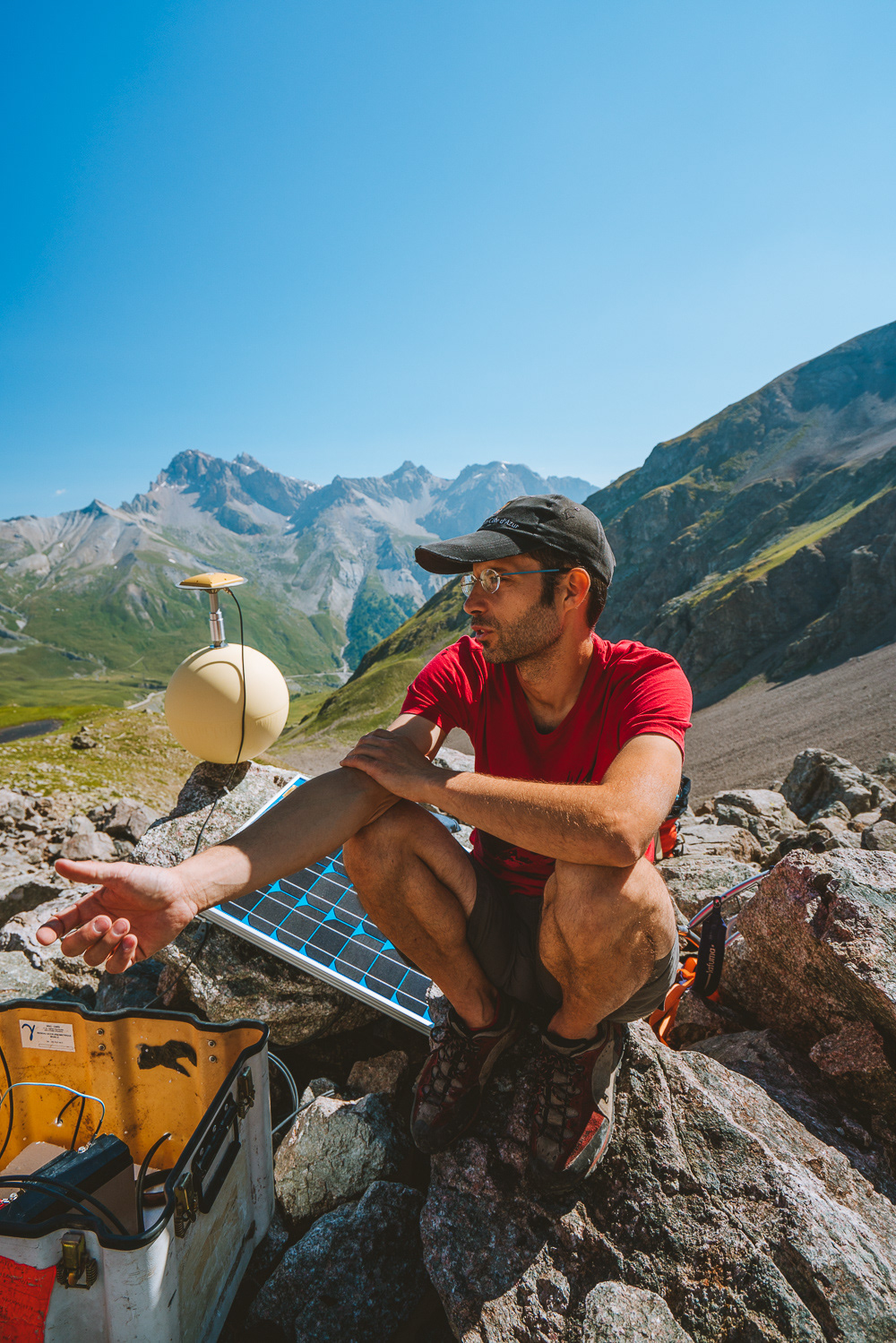
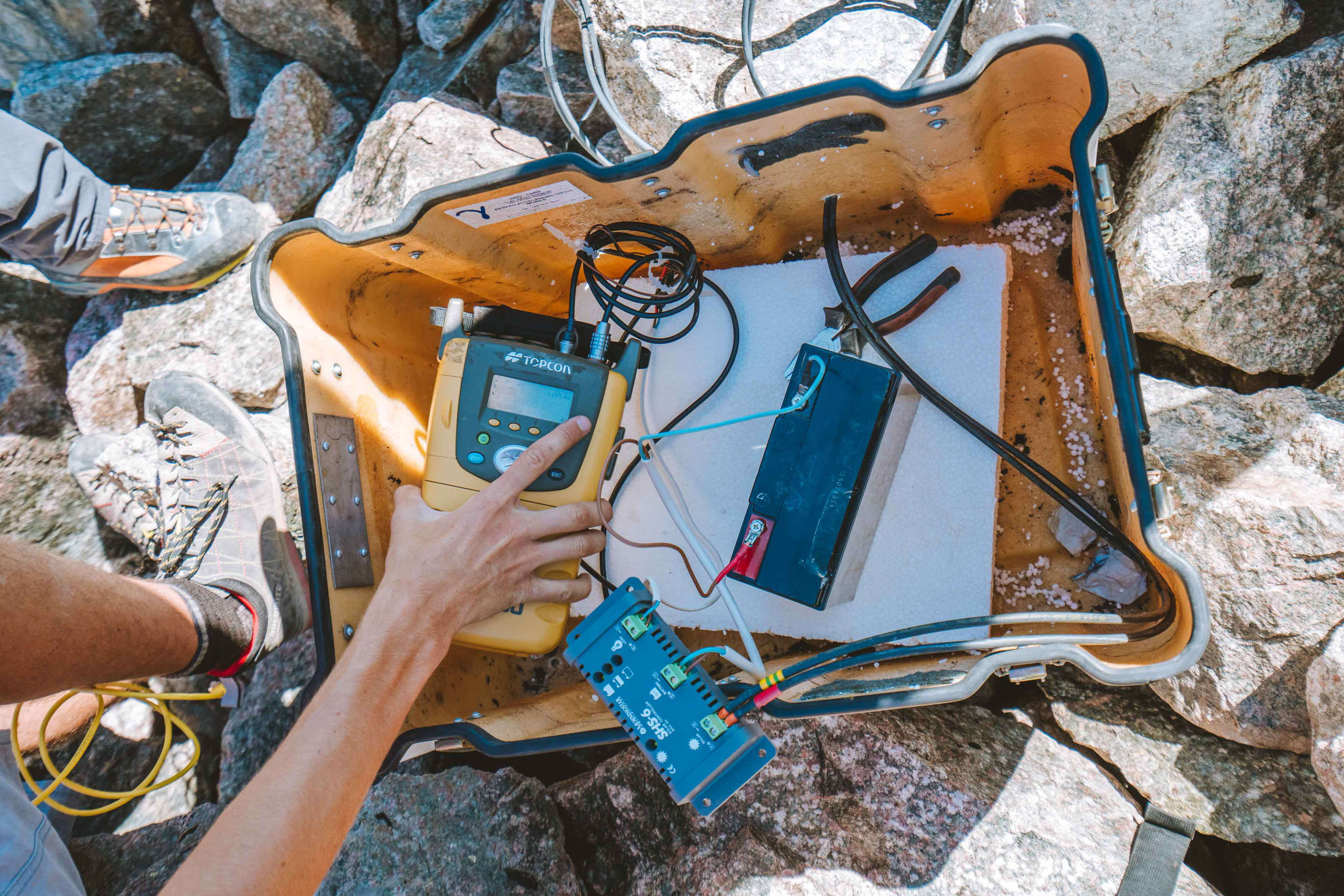
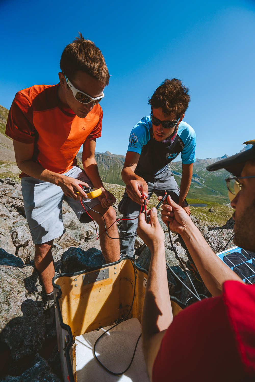
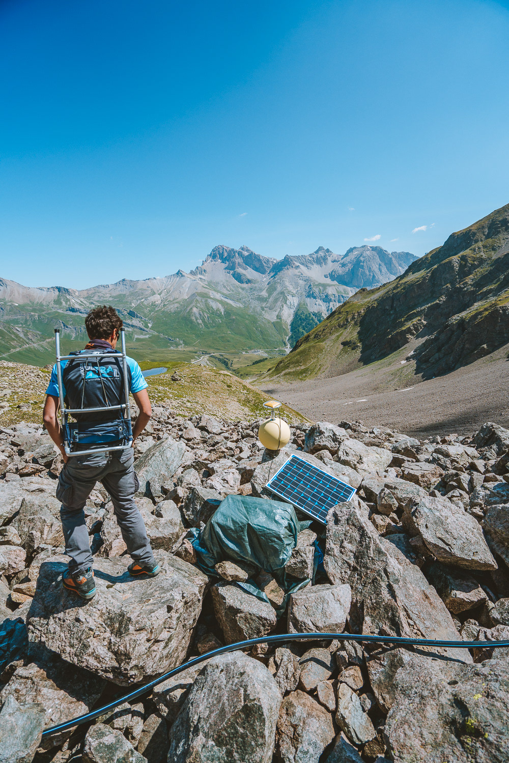
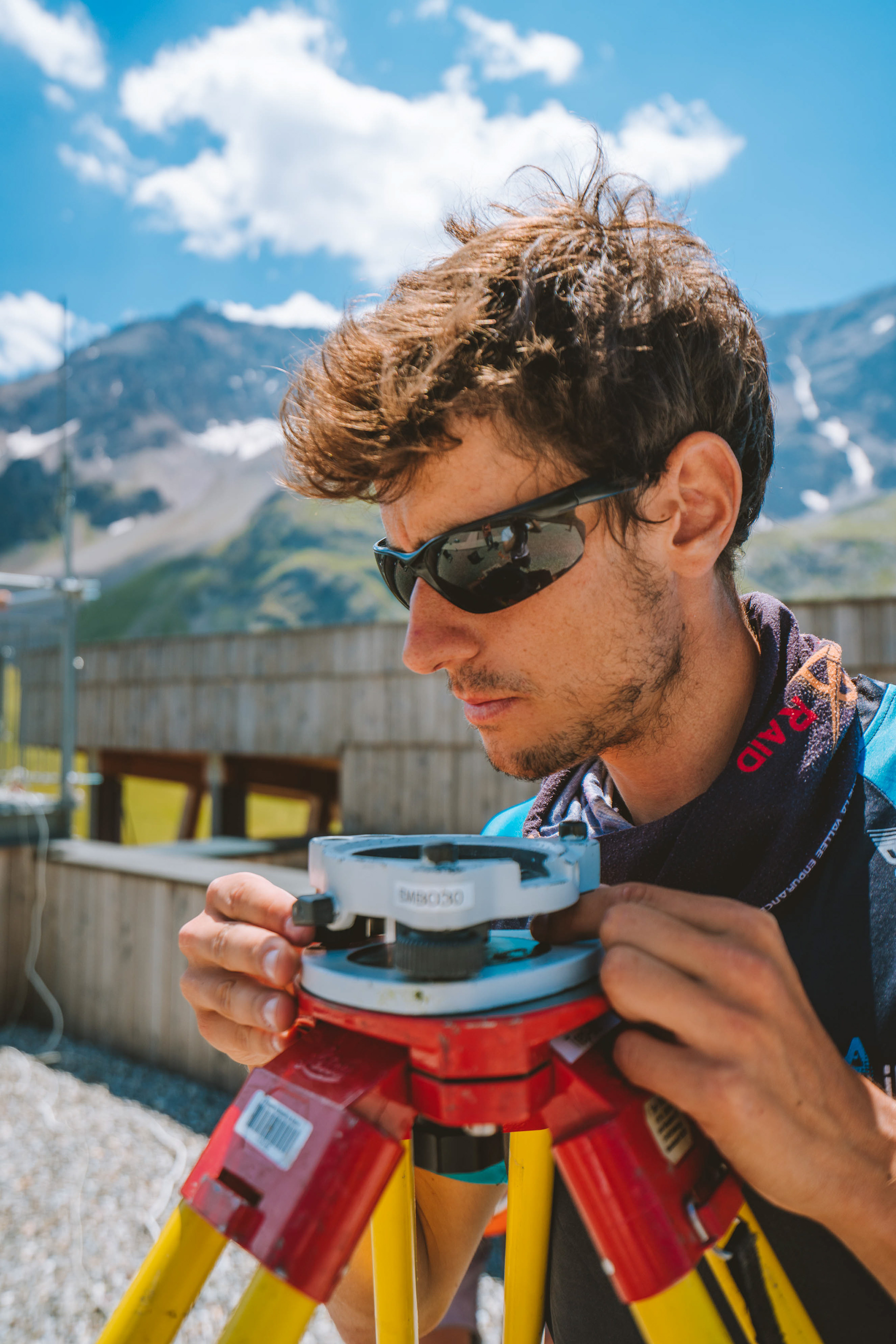
During the expedition on the field, Xavier’s team needed to set up two high-grade GPS beacons that would far more precise than any other methods due to the slow movement of ice glaciers and the lack of natural anchoring points. One GPS beacon would be fixed directly on the rock glacier. Fixing the GPS beacon on a marking buoy itself bolted on a rock allows the researchers to leave it without any worry of losing it. It is important to verify that the gear is properly set up and working. The data receptor and batteries are linked to the solar panel and safely stored inside a waterproof case covered in a plastic tarp.
Once everything is working the data receptor and batteries are linked to the solar panel and safely stored inside a waterproof case covered in a plastic tarp. The GPS beacon will stay on the rock glacier for up to three years, collecting data everyday. The main issue with leaving this GPS beacon is how the gear will handle the weather and natural conditions. Staying at 2100m all year long is difficult in these terrains. Between the rocks falling from the nearby summits and the freezing cold temperatures during winter it is important to make sure that the gear is properly installed.
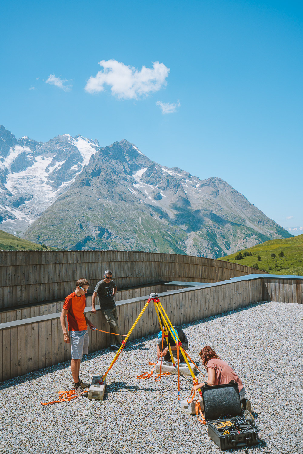
This second beacon is used as an anchor point for the one set up on the rock glacier making the data more precise than it would have been with only one beacon. By calculating the distance between each beacon knowing that one is not moving we can have more precise and reliable data on the glacier movement.
Here the second GPS beacon was set up on the roof of the «Maison du Parc des Ecrins» along with different meteorological and Seismology gear. This beacon had to be properly levelled to precisely show the movement of the glacier by serving as a point of reference.
